Munro hillwalk Carn Bhac
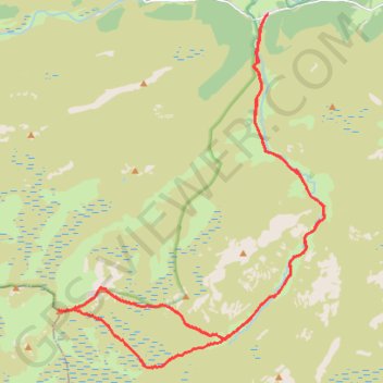
Carte interactive
Profil de la trace GPS
À propos de cette trace GPS
Nom : Trace GPS Munro hillwalk Carn Bhac, itinéraire, parcours
Départ : C1M, Muckle Inverey, Inverey, Aberdeenshire, Scotland, AB35 5YB, United Kingdom (56.98514 -3.50001)
Arrivée : C1M, Muckle Inverey, Inverey, Aberdeenshire, Scotland, AB35 5YB, United Kingdom (56.98513 -3.50005)
Coordonnées : 56.91459 -3.57686 56.98520 -3.47942
Autres traces GPS
Cliquez sur une trace GPS pour visualiser son itinéraire, ses statistiques et son profil.
Planned eMTB Gravel: Linn of Dee -> The Red House Bothy - TnB
United Kingdom > Scotland > Aberdeenshire
Following the River Dee west from the Linn of Dee
Distance : 15,2 Km • Dénivelé positif : 100 m • Altitude maximum : 441 m