Malham - Yorkshire Dales National Park
Carte interactive
Profil de la trace GPS
À propos de cette trace GPS
Nom : Trace GPS Malham - Yorkshire Dales National Park, itinéraire, parcours
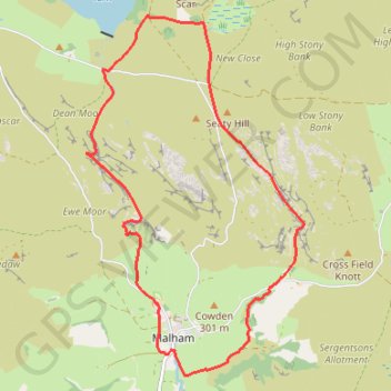
Départ : Chapel Gate, Malham, North Yorkshire, England, BD23 4DG, United Kingdom (54.05951 -2.15387)
Arrivée : Chapel Gate, Malham, North Yorkshire, England, BD23 4DG, United Kingdom (54.05948 -2.15397)
Coordonnées : 54.05743 -2.16776 54.09364 -2.13044