Vom Lago Pehoe zum Aussichtspunkt "Mirador Cóndor"
Kurze Wanderung zu einem hervorragenden Aussichtspunkt hoch über dem Lago Pehoe. Am höchsten Punkt erwartet uns eine weite Rundumsicht über zahlreiche Seen und zu schroffen Bergen.
- Distance : 2,4 Km
- Dénivelé positif : 217 m
- Altitude maximum : 257 m
- Dénivelé négatif : 217 m
- Altitude minimum : 39 m
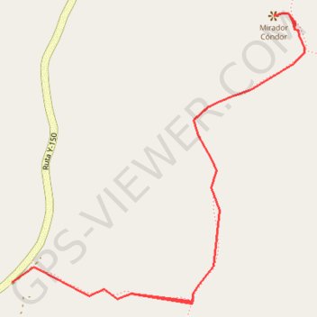
Carte interactive
Profil de la trace GPS
À propos de cette trace GPS
Nom : Trace GPS Vom Lago Pehoe zum Aussichtspunkt "Mirador Cóndor", itinéraire, parcours
Coordonnées : -51.10672 -72.98546 -51.10160 -72.97723
Topographie : Carte topographique Torres del Paine