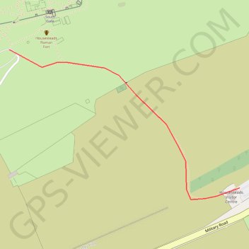
Housesteads Link
Connecting walk between Hadrian's Wall Path and the car park at Housesteads
- Distance : 0,6 Km
- Dénivelé positif : 11 m
- Altitude maximum : 252 m
- Dénivelé négatif : 37 m
- Altitude minimum : 214 m
Carte interactive
Profil de la trace GPS
À propos de cette trace GPS
Nom : Trace GPS Housesteads Link, itinéraire, parcours
Coordonnées : 55.00966 -2.33089 55.01225 -2.32396