East Coast Trail - Silver Mine Cobbler Path
- Distance : 14,8 Km
- Dénivelé positif : 514 m
- Altitude maximum : 189 m
- Dénivelé négatif : 621 m
- Altitude minimum : -1 m
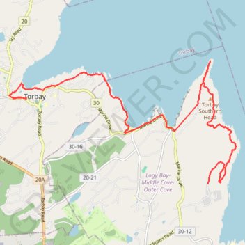
Carte interactive
Profil de la trace GPS
À propos de cette trace GPS
Nom : Trace GPS East Coast Trail - Silver Mine Cobbler Path, itinéraire, parcours
Coordonnées : 47.63841 -52.73533 47.66528 -52.66147