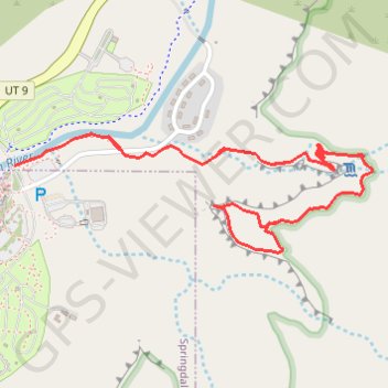
Importer un fichier GPX

Watchman Overlook

Hike from the Virgin River to the Watchman Overlook by the Watchman Trail in the Zion National Park. #Hike #Mountain #Canyon #River #Nature #Park #Zion

  • Distance : 5,1 Km
  • Dénivelé positif : 288 m
  • Altitude maximum : 1 356 m
  • Dénivelé négatif : 288 m
  • Altitude minimum : 1 199 m

Carte interactive

Profil de la trace GPS

À propos de cette trace GPS

Nom : Trace GPS Watchman Overlook, itinéraire, parcours

Départ : Watchman Trail, Springdale, Washington County, Utah, 84767, United States (37.20136 -112.98644)

Arrivée : Watchman Trail, Washington County, Utah, 84767, United States (37.20142 -112.98621)

Coordonnées : 37.19863 -112.98644 37.20236 -112.97237

Autres traces GPS

Cliquez sur une trace GPS pour visualiser son itinéraire, ses statistiques et son profil.

Watchman

United States > Utah > Washington County > Springdale

Zion National Park. Virgin River. #Hike #Canyon #River #Forest #Nature

Distance : 5,0 Km • Dénivelé positif : 239 m • Altitude maximum : 1 357 m