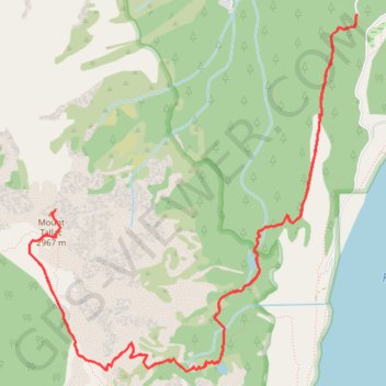
Importer un fichier GPX

Mount Tallac

Desolation Wilderness. Lake Tahoe, Fallen Leaf Lake, Floating Island Lake, Cathedral Lake. #Hike #Snowshoes #Mountain #Lake #Forest #Nature

  • Distance : 16,1 Km
  • Dénivelé positif : 1 014 m
  • Altitude maximum : 2 959 m
  • Dénivelé négatif : 1 014 m
  • Altitude minimum : 1 966 m

Carte interactive

Profil de la trace GPS

À propos de cette trace GPS

Autres traces GPS

Cliquez sur une trace GPS pour visualiser son itinéraire, ses statistiques et son profil.

Cathedral Lake and Floating Island Lake

United States > California > El Dorado County > Spring Creek

Hike to Cathedral Lake and Floating Island Lake via Mount Tallac Trail above the Fallen Leaf Lake in the Desolation Wilderness. #Hike #Nature #Lake #Mountain #Forest #Wilderness

Distance : 8,8 Km • Dénivelé positif : 368 m • Altitude maximum : 2 328 m

Chester - Walker

États-Unis d'Amérique > Californie > Plumas County > Chester

Vélo. En aller simple entre Chester et Walker. #Vélo

Distance : 383,8 Km • Dénivelé positif : 6 088 m • Altitude maximum : 2 541 m