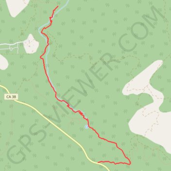
Arrastre Creek
Carte interactive
Profil de la trace GPS
À propos de cette trace GPS
Nom : Trace GPS Arrastre Creek, itinéraire, parcours
Départ : Broom Flats Road, San Bernardino County, California, United States (34.20739 -116.73789)
Coordonnées : 34.20705 -116.75163 34.23827 -116.73010