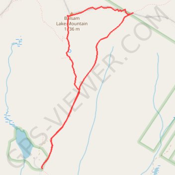
Balsam Lake Mountain Loop
Loop hike from Balsam Lake to Balsam Lake Mountain via Dry Brook Ridge Trail and Balsam Lake Mountain Trail in the Balsam Lake Mountain Wild Forest and the Cattskill Park. #Hike #Loop #Mountain #Lake #Nature #Forest #Park
- Distance : 7,0 Km
- Dénivelé positif : 355 m
- Altitude maximum : 1 133 m
- Dénivelé négatif : 356 m
- Altitude minimum : 777 m
- Temps en mouvement : 1 h 43 m
- Vitesse en mouvement : 4,1 Km/h
- Vitesse maximum : 5,4 Km/h
- Temps total : 1 h 50 m
- Vitesse globale : 3,8 Km/h
- Date : 08/10/2022
Carte interactive
Profil de la trace GPS
À propos de cette trace GPS
Nom : Trace GPS Balsam Lake Mountain Loop, itinéraire, parcours
Coordonnées : 42.02403 -74.59973 42.04691 -74.58229