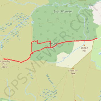
Timble Ings - Lippersley Pike walk
- Distance : 5,3 Km
- Dénivelé positif : 73 m
- Altitude maximum : 325 m
- Dénivelé négatif : 73 m
- Altitude minimum : 260 m
- Temps en mouvement : 1 h 45 m
- Vitesse en mouvement : 3,0 Km/h
- Vitesse maximum : 5,3 Km/h
- Temps total : 2 h 13 m
- Vitesse globale : 2,4 Km/h
- Date : 12/04/2024
Carte interactive
Profil de la trace GPS
À propos de cette trace GPS
Nom : Trace GPS Timble Ings - Lippersley Pike walk, itinéraire, parcours
Arrivée : Great Timble, Timble, North Yorkshire, England, LS21 2PW, United Kingdom (53.97249 -1.74947)
Coordonnées : 53.96745 -1.78293 53.97250 -1.74941