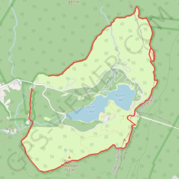
North Mountain, North Lake, South Mountain and South Lake Loop
Loop hike above North Lake and South Lake via North Mountain, Escarpment Trail, Newmans Ledge, Lookout Rock, Sunset Rock, Mountain House Trail, Catskill Mountain House Site, South Mountain and Schutt Road in the Windham-Blackhead Range Wilderness, the Kaaterskill Wild Forest and the Catskill Park. #Hike #Loop #Mountain #Lake #Nature #Forest #Rock #Overlook #Wilderness
- Distance : 10,0 Km
- Dénivelé positif : 335 m
- Altitude maximum : 796 m
- Dénivelé négatif : 361 m
- Altitude minimum : 640 m
- Temps en mouvement : 3 h 6 m
- Vitesse en mouvement : 3,2 Km/h
- Vitesse maximum : 5,2 Km/h
- Temps total : 3 h 16 m
- Vitesse globale : 3,0 Km/h
- Date : 14/05/2016
Carte interactive
Profil de la trace GPS
À propos de cette trace GPS
Nom : Trace GPS North Mountain, North Lake, South Mountain and South Lake Loop, itinéraire, parcours
Départ : North Lake Road, Town of Hunter, Greene County, New York, 12436, United States (42.20290 -74.05443)
Coordonnées : 42.18667 -74.06063 42.21459 -74.02964